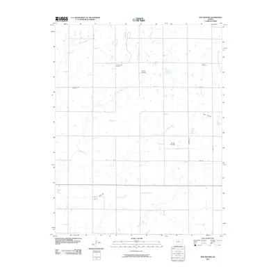
2010 Map of Five Mounds
USGS Topo · Published 2010About this map
Dewey Mound, Long Mound, and the namesake Five Mounds define the rising elevation of this Neosho County landscape. This 2010 survey reveals a rural territory structured by a precise grid of local roads like Anderson Rd and Brown Rd, which intersect the natural drainage patterns of Pumpkin Creek and Little Cedar Creek. The distribution of these namesake mounds suggests a specific geological character in this part of Kansas, where small peaks break the surrounding plains.
Find a feature on this map
15 named features on this map. Tap any name to fly to it.
Don’t see what you’re looking for? This feature index may not catch every label — zoom into the map to look around manually.
Map Details
Editions of this 2010 Five Mounds Map
This is the sole edition of this map. No revisions or reprints were ever made.
Other maps of this area

1886 · Fredonia
USGS Topo · 1:125,000

1886 · Iola
USGS Topo · 1:125,000

1886 · Independence
USGS Topo · 1:125,000

1886 · Parsons
USGS Topo · 1:125,000

1893 · Iola
USGS Topo · 1:125,000

1893 · Parsons
USGS Topo · 1:125,000

1894 · Fredonia
USGS Topo · 1:125,000

1894 · Independence
USGS Topo · 1:125,000

1904 · Iola
USGS Topo · 1:125,000

1905 · Independence
USGS Topo · 1:125,000