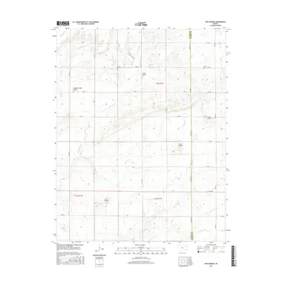
2015 Map of Five Mounds
USGS Topo · Published 2015About this map
Dewey Mound and Three Mounds stand as prominent landmarks across this rural landscape where the border between Wilson and Neosho counties is defined. The terrain is deeply inscribed by a dense network of watercourses, including Pumpkin Creek, Chetopa Creek, and Big Cedar Creek, which carve through the prairie and shape the local agricultural layout. This 2015 survey reveals a disciplined grid of rural roads such as Wichita Road and Thomas Road that provide access to isolated family burial sites and topographical high points.
Find a feature on this map
35 named features on this map. Tap any name to fly to it.
Don’t see what you’re looking for? This feature index may not catch every label — zoom into the map to look around manually.
Map Details
Editions of this 2015 Five Mounds Map
This is the sole edition of this map. No revisions or reprints were ever made.
Other maps of this area

1886 · Fredonia
USGS Topo · 1:125,000

1886 · Iola
USGS Topo · 1:125,000

1886 · Independence
USGS Topo · 1:125,000

1886 · Parsons
USGS Topo · 1:125,000

1893 · Iola
USGS Topo · 1:125,000

1893 · Parsons
USGS Topo · 1:125,000

1894 · Fredonia
USGS Topo · 1:125,000

1894 · Independence
USGS Topo · 1:125,000

1904 · Iola
USGS Topo · 1:125,000

1905 · Independence
USGS Topo · 1:125,000