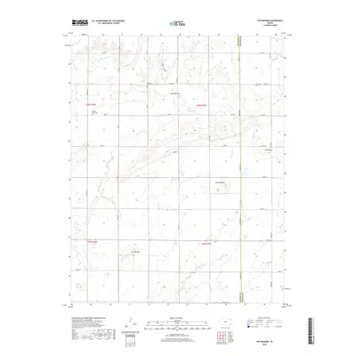
2018 Map of Five Mounds
USGS Topo · Published 2018About this map
The rolling prairies of the Wilson and Neosho County line define this landscape, characterized by distinct topographic rises and a complex network of prairie streams. Several prominent elevations, including Dewey Mound, Three Mounds, Long Mound, and the namesake Five Mounds, serve as significant landmarks across the terrain. These features reflect the natural relief of the region before the extensive grid of section-line roads was established.
Find a feature on this map
32 named features on this map. Tap any name to fly to it.
Don’t see what you’re looking for? This feature index may not catch every label — zoom into the map to look around manually.
Map Details
Editions of this 2018 Five Mounds Map
This is the sole edition of this map. No revisions or reprints were ever made.
Other maps of this area

1886 · Fredonia
USGS Topo · 1:125,000

1886 · Iola
USGS Topo · 1:125,000

1886 · Independence
USGS Topo · 1:125,000

1886 · Parsons
USGS Topo · 1:125,000

1893 · Iola
USGS Topo · 1:125,000

1893 · Parsons
USGS Topo · 1:125,000

1894 · Fredonia
USGS Topo · 1:125,000

1894 · Independence
USGS Topo · 1:125,000

1904 · Iola
USGS Topo · 1:125,000

1905 · Independence
USGS Topo · 1:125,000