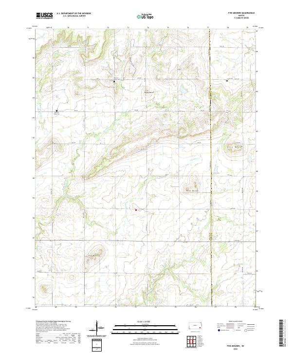
2022 Map of Five Mounds
USGS Topo · Published 2022About this map
Distinctive topographic elevations define the Kansas landscape along the border of Wilson and Neosho Counties. Named for its local topography, the area is punctuated by prominent features such as Five Mounds, Three Mounds, Dewey Mound, and Long Mound. These landmarks rise above a network of waterways that drain the prairie, including the wandering courses of Big Cedar Cr, Pumpkin Cr, and Chetopa Cr.
Find a feature on this map
42 named features on this map. Tap any name to fly to it.
Don’t see what you’re looking for? This feature index may not catch every label — zoom into the map to look around manually.
Map Details
Editions of this 2022 Five Mounds Map
This is the sole edition of this map. No revisions or reprints were ever made.
Other maps of this area

1886 · Fredonia
USGS Topo · 1:125,000

1886 · Iola
USGS Topo · 1:125,000

1886 · Independence
USGS Topo · 1:125,000

1886 · Parsons
USGS Topo · 1:125,000

1893 · Iola
USGS Topo · 1:125,000

1893 · Parsons
USGS Topo · 1:125,000

1894 · Fredonia
USGS Topo · 1:125,000

1894 · Independence
USGS Topo · 1:125,000

1904 · Iola
USGS Topo · 1:125,000

1905 · Independence
USGS Topo · 1:125,000