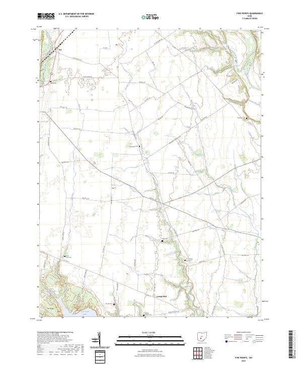
2023 Map of Five Points
USGS Topo · Published 2023About this map
Buskirk Creek and its many tributaries carve through the agricultural heart of Pickaway and Madison Counties, defining a landscape where rural life is anchored by family heritage and quiet crossroads. The small settlement of Era sits near the northwestern corner, while Grange Hall serves as a community landmark further south. The map is particularly rich in genealogical data, preserving the locations of numerous family-named burial grounds such as Alkire Cem, McKinley Cem, and Curt Knisley Farm Cem.
Find a feature on this map
60 named features on this map. Tap any name to fly to it.
Don’t see what you’re looking for? This feature index may not catch every label — zoom into the map to look around manually.
Map Details
Editions of this 2023 Five Points Map
This is the sole edition of this map. No revisions or reprints were ever made.
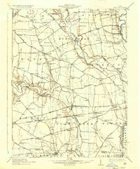
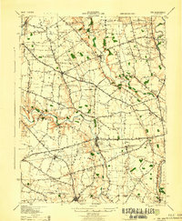
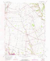
Historical Maps of Era Through Time
5 maps found