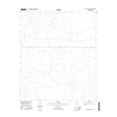
2016 Map of Five Wells Ranch SE
USGS Topo · Published 2016About this map
Ranch Rd 87 bisects this high plains landscape of Andrews County, serving as the primary east-west artery across a terrain defined by subtle elevation changes and expansive open land. The map illustrates a highly organized grid of secondary roads and trails, such as Ne 8301, which facilitate access across the local ranchlands. This network of thoroughfares provides a window into the modern logistics of West Texas cattle ranching and land management. The sparse distribution of named infrastructure highlights the characteristic isolation of the region, where a few well-maintained routes provide the essential connectivity for the dispersed properties throughout the quadrangle.
Find a feature on this map
2 named features on this map. Tap any name to fly to it.
Don’t see what you’re looking for? This feature index may not catch every label — zoom into the map to look around manually.
Map Details
Editions of this 2016 Five Wells Ranch SE Map
This is the sole edition of this map. No revisions or reprints were ever made.
Other maps of this area

1954 · Hobbs
USGS Topo · 1:250,000

1958 · Hobbs
USGS Topo · 1:250,000

1966 · Mabee Ranch
USGS Topo · 1:24,000

1966 · Scharbauer Ranch
USGS Topo · 1:24,000

1966 · Bird Ranch
USGS Topo · 1:24,000

1968 · Baird Lake
USGS Topo · 1:24,000

1968 · Gardendale NW
USGS Topo · 1:24,000

1971 · Five Wells Ranch NW
USGS Topo · 1:24,000

1971 · Five Wells Ranch SE
USGS Topo · 1:24,000

1971 · Five Wells Ranch
USGS Topo · 1:24,000