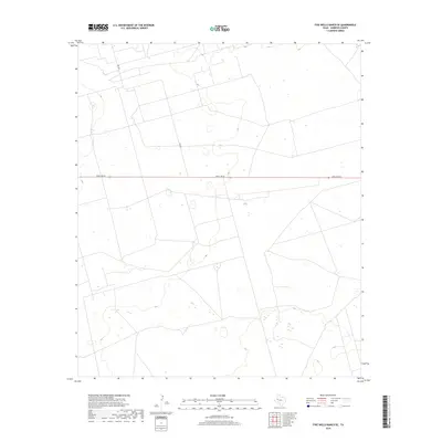
2019 Map of Five Wells Ranch SE
USGS Topo · Published 2019About this map
Ranch Rd 87 bisects this West Texas landscape, serving as the primary east-west artery through a region defined by its wide-open ranching tracts and subtle topographic variations. Located in the southeast corner of the Five Wells Ranch area, the map reveals a highly structured grid of property boundaries and local connectors like Ne 8301 that support the local livestock industry. The absence of traditional townships or dense settlements emphasizes the scale of individual landholdings and the specialized land use characteristic of Andrews County. While the terrain remains relatively level, the presence of numerous small basins and intermittent hydrographic features suggests the complex drainage patterns common in this part of the Llano Estacado, where water management is critical to the survival of the ranching economy.
Find a feature on this map
2 named features on this map. Tap any name to fly to it.
Don’t see what you’re looking for? This feature index may not catch every label — zoom into the map to look around manually.
Map Details
Editions of this 2019 Five Wells Ranch SE Map
This is the sole edition of this map. No revisions or reprints were ever made.
Other maps of this area

1954 · Hobbs
USGS Topo · 1:250,000

1958 · Hobbs
USGS Topo · 1:250,000

1966 · Mabee Ranch
USGS Topo · 1:24,000

1966 · Scharbauer Ranch
USGS Topo · 1:24,000

1966 · Bird Ranch
USGS Topo · 1:24,000

1968 · Baird Lake
USGS Topo · 1:24,000

1968 · Gardendale NW
USGS Topo · 1:24,000

1971 · Five Wells Ranch NW
USGS Topo · 1:24,000

1971 · Five Wells Ranch SE
USGS Topo · 1:24,000

1971 · Five Wells Ranch
USGS Topo · 1:24,000