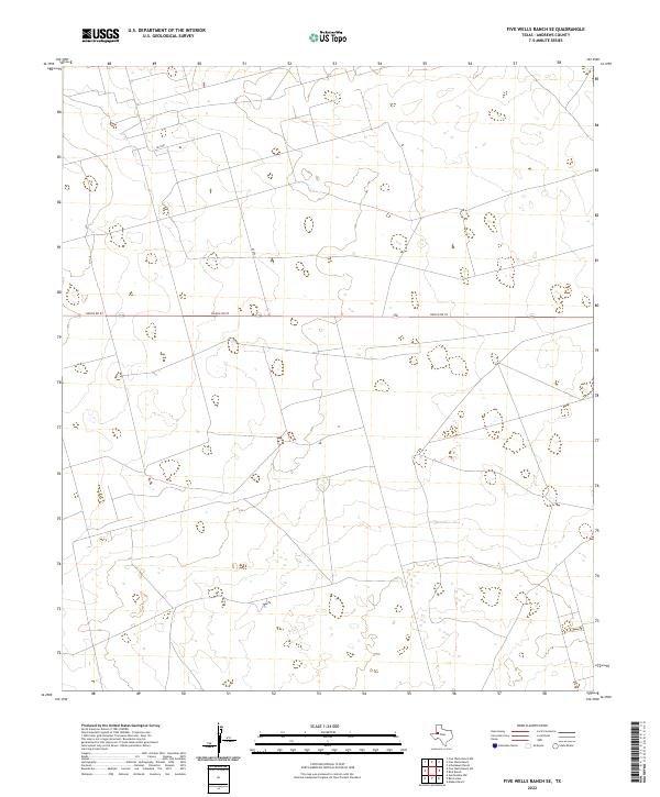
2022 Map of Five Wells Ranch SE
USGS Topo · Published 2022About this map
The high plains of Andrews County are defined by a strictly utilitarian grid of ranching and resource roads in this 2022 survey. Bisecting the territory is Ranch Rd 87, a straight linear artery that serves as the primary corridor through this open landscape. The map reveals the modern infrastructure of West Texas, where the vast intervals between named features are punctuated only by secondary routes such as Ne 8301. The lack of named settlements or civic institutions reflects the specialized land use of the region, focusing on livestock and industry rather than dense residential development. Topographical contours indicate the subtle, shifting elevations characteristic of the Permian Basin, showing a landscape shaped more by its subterranean resources and surface grazing than by permanent town sites.
Find a feature on this map
2 named features on this map. Tap any name to fly to it.
Don’t see what you’re looking for? This feature index may not catch every label — zoom into the map to look around manually.
Map Details
Editions of this 2022 Five Wells Ranch SE Map
This is the sole edition of this map. No revisions or reprints were ever made.
Other maps of this area

1954 · Hobbs
USGS Topo · 1:250,000

1958 · Hobbs
USGS Topo · 1:250,000

1966 · Mabee Ranch
USGS Topo · 1:24,000

1966 · Scharbauer Ranch
USGS Topo · 1:24,000

1966 · Bird Ranch
USGS Topo · 1:24,000

1968 · Baird Lake
USGS Topo · 1:24,000

1968 · Gardendale NW
USGS Topo · 1:24,000

1971 · Five Wells Ranch NW
USGS Topo · 1:24,000

1971 · Five Wells Ranch SE
USGS Topo · 1:24,000

1971 · Five Wells Ranch
USGS Topo · 1:24,000