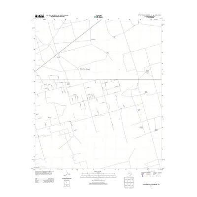
2012 Map of Five Wells Ranch SW
USGS Topo · Published 2012About this map
Waldon Place Windmill and the surrounding rangelands of Andrews County define this West Texas landscape. The 2012 topography reveals an extensive network of ranching and industrial infrastructure, particularly evident in the highly organized grid of numbered roads such as Se 1000 and Se 4001. These routes facilitate access to the Wemac Oil Field, illustrating the area's dual reliance on petroleum extraction and livestock grazing.
Find a feature on this map
68 named features on this map. Tap any name to fly to it.
Don’t see what you’re looking for? This feature index may not catch every label — zoom into the map to look around manually.
Map Details
Editions of this 2012 Five Wells Ranch SW Map
This is the sole edition of this map. No revisions or reprints were ever made.
Other maps of this area

1954 · Hobbs
USGS Topo · 1:250,000

1958 · Hobbs
USGS Topo · 1:250,000

1963 · Andrews
USGS Topo · 1:24,000

1968 · Baird Lake
USGS Topo · 1:24,000

1968 · Gardendale NW
USGS Topo · 1:24,000

1968 · Clabber Hill Ranch
USGS Topo · 1:24,000

1971 · Five Wells Ranch NW
USGS Topo · 1:24,000

1971 · Florey
USGS Topo · 1:24,000

1971 · Five Wells Ranch SE
USGS Topo · 1:24,000

1971 · Five Wells Ranch
USGS Topo · 1:24,000