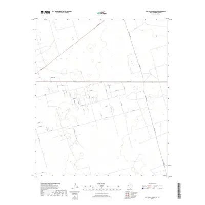
2019 Map of Five Wells Ranch SW
USGS Topo · Published 2019About this map
Ranch Rd 87 and Ranch Rd 1788 anchor the transportation network in this portion of Andrews County, Texas, reflecting a landscape shaped by rural development and ranching operations. The map reveals a structured grid of residential and local access roads south of Ranch Rd 87, including clusters around Quite Oaks, Roadrunner, and Alva Ln. These named thoroughfares, such as Meadowlark Ln and Mesa Rd, indicate localized settlement patterns within the otherwise expansive terrain. Further north, the diagonal path of Ranch Rd 703 cuts across the plains, connecting more remote areas. The presence of numerous numbered SE and NE roads suggests a systematic division of land parcels typical of modern Texas ranching and industrial expansion. The terrain is dotted with small depressions and wetlands, underscoring the hydrology of the High Plains.
Find a feature on this map
41 named features on this map. Tap any name to fly to it.
Don’t see what you’re looking for? This feature index may not catch every label — zoom into the map to look around manually.
Map Details
Editions of this 2019 Five Wells Ranch SW Map
This is the sole edition of this map. No revisions or reprints were ever made.
Other maps of this area

1954 · Hobbs
USGS Topo · 1:250,000

1958 · Hobbs
USGS Topo · 1:250,000

1963 · Andrews
USGS Topo · 1:24,000

1968 · Baird Lake
USGS Topo · 1:24,000

1968 · Gardendale NW
USGS Topo · 1:24,000

1968 · Clabber Hill Ranch
USGS Topo · 1:24,000

1971 · Five Wells Ranch NW
USGS Topo · 1:24,000

1971 · Florey
USGS Topo · 1:24,000

1971 · Five Wells Ranch SE
USGS Topo · 1:24,000

1971 · Five Wells Ranch
USGS Topo · 1:24,000