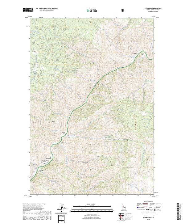
2024 Map of Fivemile Bar
USGS Topo · Published 2024About this map
The Salmon River carves a deep path through this reach of the Salmon Wild and Scenic River, where a series of sandbars and river terraces have historically defined the human footprint. These bars, including Fivemile Bar, Gaines Bar, and Boise Bar, served as vital landings and settlement sites within the steep canyon walls. The geography here is further shaped by the intersection of major protected lands, including the Nez-Perce National Forest, the Payette National Forest, and the massive Frank Church-River of No Return Wilderness. Access to this remote river corridor is marked by the presence of the Wilson Bar USFS Airport and the Painter Mine Rd, suggesting a history of mining and forestry activity. Significant elevation changes are anchored by landmarks like Mammoth Mtn and Painter Point, while smaller water bodies like Little Sheepeater Lake hide in the high-elevation basins above the main river channel.
Find a feature on this map
57 named features on this map. Tap any name to fly to it.
Don’t see what you’re looking for? This feature index may not catch every label — zoom into the map to look around manually.
Map Details
Editions of this 2024 Fivemile Bar Map
This is the sole edition of this map. No revisions or reprints were ever made.
Other maps of this area

1931 · Buffalo Hump
USGS Topo · 1:125,000

1934 · Buffalo Hump
USGS Topo · 1:125,000

1956 · Warren
USGS Topo · 1:62,500

1956 · Elk City
USGS Topo · 1:250,000

1960 · Elk City
USGS Topo · 1:250,000

1977 · Silver Spur Ridge
USGS Topo · 1:24,000

1978 · Mosquito Peak
USGS Topo · 1:24,000

1978 · Chicken Peak
USGS Topo · 1:24,000

1979 · Dixie
USGS Topo · 1:24,000

1979 · Fivemile Bar
USGS Topo · 1:24,000