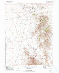
1993 Map of Fivemile Pass
USGS Topo · Published 1993About this map
The Pony Express Overland Stage Route cuts across the northern landscape of this region, marking a storied corridor of transit through the high desert. Settlement is concentrated at Topliff, situated at the base of the Topliff Hills where an Old Railroad Grade meets the valley floor. The map documents an intensive history of extraction, with numerous Open Pit Mines, Prospects, and a Mine Dump scattered throughout the higher elevations of the Thorpe Hills.
Find a feature on this map
31 named features on this map. Tap any name to fly to it.
Don’t see what you’re looking for? This feature index may not catch every label — zoom into the map to look around manually.
Map Details
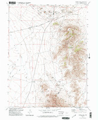
Editions of this 1993 Fivemile Pass Map
2 editions found
Other maps of this area

1885 · Tooele Valley
USGS Topo · 1:250,000

1915 · Fairfield
USGS Topo · 1:62,500

1917 · Fairfield
USGS Topo · 1:62,500

1918 · Stockton
USGS Topo · 1:62,500

1947 · Fivemile Pass
USGS Topo · 1:62,500

1947 · Allens Ranch
USGS Topo · 1:24,000

1947 · Boulter Peak
USGS Topo · 1:24,000

1947 · Goshen Pass
USGS Topo · 1:24,000

1949 · Allens Ranch
USGS Topo · 1:24,000

1949 · Fivemile Pass
USGS Topo · 1:24,000