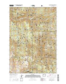
2014 Map of Flagstaff Butte
USGS Topo · Published 2014About this map
The Whitman National Forest high country, spanning the boundary of Union and Baker Counties, defines this landscape of timbered peaks and vital water infrastructure. Near the summit of Flagstaff Butte, the South Catherine Ditch diverts water along the eastern slopes, illustrating the complex irrigation history of the region. The map reveals a dense network of water sources like Sufferin Smith Spring, Argenti Spring, and Universal Spring that supported high-altitude grazing and forestry. Named topographic features such as Angel Point, Fairview Point, and Four Point Ridge provide distinct navigational landmarks across the ridges. The presence of the Big Cr Ditch and numerous forest development roads, including Nat For Dev Rd 650, reflects a mid-century period of active resource management and access into the interior mountains.
Find a feature on this map
54 named features on this map. Tap any name to fly to it.
Don’t see what you’re looking for? This feature index may not catch every label — zoom into the map to look around manually.
Map Details
Editions of this 2014 Flagstaff Butte Map
This is the sole edition of this map. No revisions or reprints were ever made.
Other maps of this area

1901 · Baker City
USGS Topo · 1:125,000

1906 · Telocaset
USGS Topo · 1:125,000

1915 · Pine
USGS Topo · 1:125,000

1954 · Eagle Cap
USGS Topo · 1:62,500

1955 · Baker
USGS Topo · 1:250,000

1955 · Grangeville
USGS Topo · 1:250,000

1957 · Sparta
USGS Topo · 1:62,500

1959 · Baker
USGS Topo · 1:250,000

1959 · Grangeville
USGS Topo · 1:250,000

1965 · China Cap
USGS Topo · 1:24,000