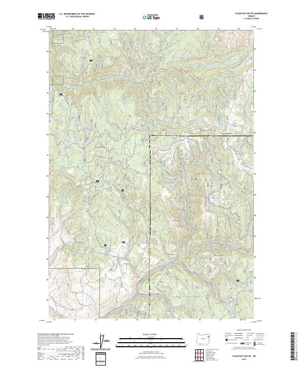
2023 Map of Flagstaff Butte
USGS Topo · Published 2023About this map
Flagstaff Butte and the surrounding high country of the Union and Baker County line define this area of northeastern Oregon. The landscape is dominated by the Whitman National Forest and the southern edge of the Eagle Cap Wilderness, where complex water management systems like the South Catherine Ditch and Big Creek Ditch trace the contours of the mountains.
Find a feature on this map
52 named features on this map. Tap any name to fly to it.
Don’t see what you’re looking for? This feature index may not catch every label — zoom into the map to look around manually.
Map Details
Editions of this 2023 Flagstaff Butte Map
This is the sole edition of this map. No revisions or reprints were ever made.
Other maps of this area

1901 · Baker City
USGS Topo · 1:125,000

1906 · Telocaset
USGS Topo · 1:125,000

1915 · Pine
USGS Topo · 1:125,000

1954 · Eagle Cap
USGS Topo · 1:62,500

1955 · Baker
USGS Topo · 1:250,000

1955 · Grangeville
USGS Topo · 1:250,000

1957 · Sparta
USGS Topo · 1:62,500

1959 · Baker
USGS Topo · 1:250,000

1959 · Grangeville
USGS Topo · 1:250,000

1965 · China Cap
USGS Topo · 1:24,000