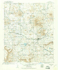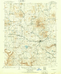
1912 Map of Flagstaff
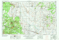
USGS Topo · Published 1951About this map
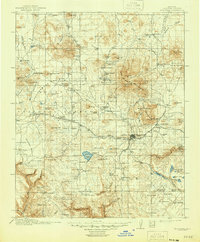
San Francisco Mountain dominates this Coconino County landscape, where the peaks of Humphreys Pk and Agassiz Pk rise above the high plateau. The growing hub of Flagstaff is already home to the Lowell Observatory and a County Hospital, with rail service provided by the Atchison, Topeka and Santa Fe RR. This era of the Coconino plateau is defined by a ranching and timber economy, evidenced by the numerous Logging RR spurs and isolated homesteads like Boyce's Ranch and Isabel's Ranch. To the east, the map details early protected lands including Sunset Crater National Monument and the Walnut Canyon Nat Mon with its prehistoric Cliff Dwellings. Natural water sources like Rogers Lake and the newly created Lake Mary provide vital points of interest for early twentieth-century land use.
Find a feature on this map
144 named features on this map. Tap any name to fly to it.
Don’t see what you’re looking for? This feature index may not catch every label — zoom into the map to look around manually.
Map Details
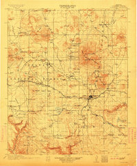
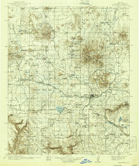
Editions of this 1912 Flagstaff Map
5 editions found
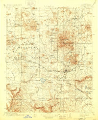
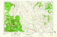
Historical Maps of Flagstaff Through Time
8 maps found