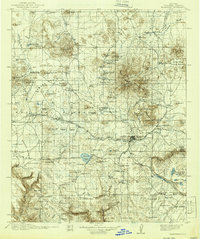
1912 Map of Flagstaff
USGS Topo · Published 1939About this map
San Francisco Mountain dominates the landscape north of the growing town of Flagstaff, providing a topographic record of the region following its 1907–1908 field survey. Scientific and cultural landmarks are prominently positioned across the high plateau, including the Lowell Observatory on Mars Hill and the County Hospital situated near the Rio de Flag. To the east, the volcanic legacy of the area is clear at Sunset Crater National Monument, while the prehistoric record is noted at the Cliff Dwellings within Walnut Canyon Nat Mon.
Find a feature on this map
136 named features on this map. Tap any name to fly to it.
Don’t see what you’re looking for? This feature index may not catch every label — zoom into the map to look around manually.
Map Details
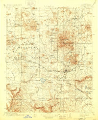
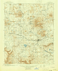
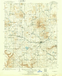
Editions of this 1912 Flagstaff Map
5 editions found

Other maps of this area

1886 · San Francisco Mtns
USGS Topo · 1:250,000

1886 · Chino
USGS Topo · 1:250,000

1887 · Verde
USGS Topo · 1:250,000

1887 · Prescott
USGS Topo · 1:250,000

1891 · San Francisco Mtns
USGS Topo · 1:250,000

1891 · Chino
USGS Topo · 1:250,000

1892 · Verde
USGS Topo · 1:250,000

1892 · Prescott
USGS Topo · 1:250,000

1894 · San Francisco Mtns
USGS Topo · 1:250,000

1899 · San Francisco Mtns
USGS Topo · 1:250,000