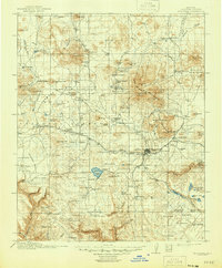
1912 Map of Flagstaff
USGS Topo · Published 1946About this map
San Francisco Mountain dominates this northern Arizona landscape, where the high-altitude peaks of Humphreys Pk and Agassiz Pk overlook a burgeoning railroad and ranching economy. The town of Flagstaff serves as the regional hub, situated along the Atchison Topeka and Santa Fe RR and home to the Lowell Observatory. This era of the Coconino plateau is defined by a dense network of homesteads and livestock operations, including Darden's Ranch, Isabel's Ranch, and the Old Casner Place.
Find a feature on this map
125 named features on this map. Tap any name to fly to it.
Don’t see what you’re looking for? This feature index may not catch every label — zoom into the map to look around manually.
Map Details
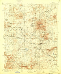
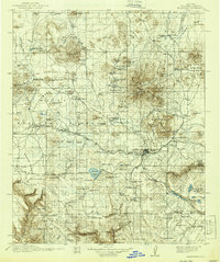
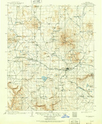
Editions of this 1912 Flagstaff Map
5 editions found

Other maps of this area

1886 · San Francisco Mtns
USGS Topo · 1:250,000

1886 · Chino
USGS Topo · 1:250,000

1887 · Verde
USGS Topo · 1:250,000

1887 · Prescott
USGS Topo · 1:250,000

1891 · San Francisco Mtns
USGS Topo · 1:250,000

1891 · Chino
USGS Topo · 1:250,000

1892 · Verde
USGS Topo · 1:250,000

1892 · Prescott
USGS Topo · 1:250,000

1894 · San Francisco Mtns
USGS Topo · 1:250,000

1899 · San Francisco Mtns
USGS Topo · 1:250,000