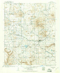
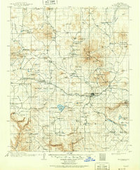
1947 Map of Flagstaff
USGS Topo · Published 1948About this map
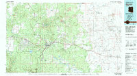
San Francisco Mountain and the towering Humphreys Peak dominate the western horizon of this Arizona landscape, which captures a complex intersection of national forests and sovereign tribal lands shortly after World War II. The high-desert terrain transitions from the timbered heights of the Coconino National Forest and Kaibab National Forest down into the wide expanse of the Painted Desert. Centered on the growing hub of Flagstaff, the map traces the vital transportation corridors of the day, including the historic Atchison Topeka and Santa Fe railroad and highways 66 and 89. To the north and east, the Navajo Indian Reservation and Hopi Indian Reservation are marked by established mesa-top villages like Walpi and Mishongnovi, alongside remote outposts such as the Sunrise Trading Post and the Say-Eide-Ee School near the banks of the Little Colorado River.
Find a feature on this map
94 named features on this map. Tap any name to fly to it.
Don’t see what you’re looking for? This feature index may not catch every label — zoom into the map to look around manually.
Map Details
Editions of this 1947 Flagstaff Map
2 editions found

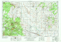
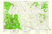
Historical Maps of Mishongnovi Through Time
8 maps found