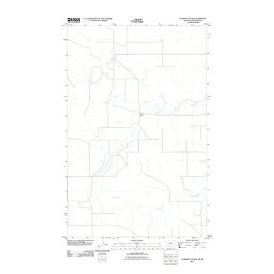
2011 Map of Flaherty Coulee
USGS Topo · Published 2011About this map
Flaherty Coulee defines the drainage patterns of this rural landscape along the Montana-Saskatchewan border in Daniels County. The terrain is characterized by the meandering courses of Coal Creek in the north and Butte Creek to the south, which slice through the high plains. This 2011 survey by the U. S. Geological Survey captures a sparsely settled agricultural and ranching region where the rectangular grid of local roads provides the primary structure for movement across the open country. The map illustrates a transitional environment where seasonal watercourses have carved distinct coulees into the northern plains, reflecting the subtle but vital hydrology of this borderland area during the early 21st century.
Find a feature on this map
3 named features on this map. Tap any name to fly to it.
Don’t see what you’re looking for? This feature index may not catch every label — zoom into the map to look around manually.
Map Details
Editions of this 2011 Flaherty Coulee Map
This is the sole edition of this map. No revisions or reprints were ever made.
Other maps of this area

1954 · Wolf Point
USGS Topo · 1:250,000

1954 · Glasgow
USGS Topo · 1:250,000

1957 · Glasgow
USGS Topo · 1:250,000

1958 · Wolf Point
USGS Topo · 1:250,000

1958 · Glasgow
USGS Topo · 1:250,000

1973 · Horseshoe Basin
USGS Topo · 1:24,000

1973 · Brockway Spring
USGS Topo · 1:24,000

1973 · Peerless
USGS Topo · 1:24,000

1973 · Flaherty Coulee
USGS Topo · 1:24,000

1973 · Carbert
USGS Topo · 1:24,000