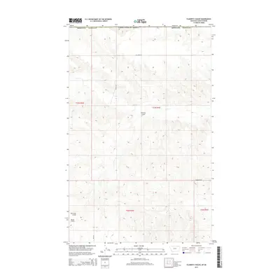
2014 Map of Flaherty Coulee
USGS Topo · Published 2014About this map
Flaherty Coulee carves through the high plains of northeastern Montana in this modern survey of Daniels County. The landscape is defined by its drainage patterns, with Coal Cr and Butte Cr winding through the terrain, flanked by significant depressions such as Brockway Coulee and Martin Coulee. This area near the Canadian border exhibits the organized grid of the Public Land Survey System, with the townships of t37n r43e and t37n r44e meeting here. The human presence is marked primarily by a network of rural routes named for local families and landmarks, including Kleeman Rd, Hammerberg Rd, and Truax Rd. These roads suggest a dispersed ranching or farming community reliant on these thoroughfares to navigate the coulee-broken country.
Find a feature on this map
15 named features on this map. Tap any name to fly to it.
Don’t see what you’re looking for? This feature index may not catch every label — zoom into the map to look around manually.
Map Details
Editions of this 2014 Flaherty Coulee Map
This is the sole edition of this map. No revisions or reprints were ever made.
Other maps of this area

1954 · Wolf Point
USGS Topo · 1:250,000

1954 · Glasgow
USGS Topo · 1:250,000

1957 · Glasgow
USGS Topo · 1:250,000

1958 · Wolf Point
USGS Topo · 1:250,000

1958 · Glasgow
USGS Topo · 1:250,000

1973 · Horseshoe Basin
USGS Topo · 1:24,000

1973 · Brockway Spring
USGS Topo · 1:24,000

1973 · Peerless
USGS Topo · 1:24,000

1973 · Flaherty Coulee
USGS Topo · 1:24,000

1973 · Carbert
USGS Topo · 1:24,000