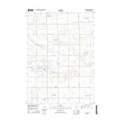
2015 Map of Flandreau
USGS Topo · Published 2015About this map
The Big Sioux River meanders through the heart of this landscape, its winding course defining the geography of Flandreau and the surrounding plains of the Coteau des Prairies. This area, mapped in the mid-2010s, shows a well-established grid of section roads like 480th Ave and 230th St that crisscross the agricultural territory. Several local watercourses, including Flandreau Cr, Mud Cr, and Spring Cr, drain into the main river valley, illustrating the complex drainage patterns of this upland plateau.
Find a feature on this map
48 named features on this map. Tap any name to fly to it.
Don’t see what you’re looking for? This feature index may not catch every label — zoom into the map to look around manually.
Map Details
Editions of this 2015 Flandreau Map
This is the sole edition of this map. No revisions or reprints were ever made.
Other maps of this area

1953 · Watertown
USGS Topo · 1:250,000

1955 · Sioux Falls
USGS Topo · 1:250,000

1958 · Sioux Falls
USGS Topo · 1:250,000

1958 · Watertown
USGS Topo · 1:250,000

1963 · Trent
USGS Topo · 1:24,000

1964 · Flandreau SW
USGS Topo · 1:24,000

1964 · Flandreau NW
USGS Topo · 1:24,000

1967 · Elkton SW
USGS Topo · 1:24,000

1967 · Jasper NW
USGS Topo · 1:24,000

1967 · Elkton
USGS Topo · 1:24,000