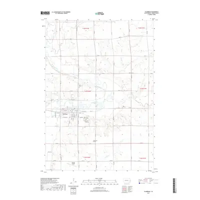
2017 Map of Flandreau
USGS Topo · Published 2017About this map
Flandreau serves as the focal point of this Moody County landscape, positioned where the Big Sioux River meanders through the eastern edge of the Coteau des Prairies. The river's winding path dominates the central terrain, joined by tributaries like Spring Cr and Brookfield Cr. For those tracing local history, the map identifies several distinct burial sites including First Presbyterian Cem to the north and a cluster of religious grounds south of the main settlement, such as the Saint Simon and Jude Catholic Cem and the Union Cem. The infrastructure of the early 21st century is well-defined, showing the layout of Flandreau Municipal Airport and a grid of rural roads like Moody Co Rd 6A that connect the scattered farmsteads of the surrounding townships.
Find a feature on this map
57 named features on this map. Tap any name to fly to it.
Don’t see what you’re looking for? This feature index may not catch every label — zoom into the map to look around manually.
Map Details
Editions of this 2017 Flandreau Map
This is the sole edition of this map. No revisions or reprints were ever made.
Other maps of this area

1953 · Watertown
USGS Topo · 1:250,000

1955 · Sioux Falls
USGS Topo · 1:250,000

1958 · Sioux Falls
USGS Topo · 1:250,000

1958 · Watertown
USGS Topo · 1:250,000

1963 · Trent
USGS Topo · 1:24,000

1964 · Flandreau SW
USGS Topo · 1:24,000

1964 · Flandreau NW
USGS Topo · 1:24,000

1967 · Elkton SW
USGS Topo · 1:24,000

1967 · Jasper NW
USGS Topo · 1:24,000

1967 · Elkton
USGS Topo · 1:24,000