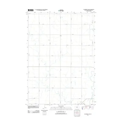
2012 Map of Flandreau SW
USGS Topo · Published 2012About this map
The Big Sioux River meanders across the southeastern corner of this Moody County landscape, defined by a rigid grid of agricultural section lines. These surveyed roads, such as Co Hwy E and 476th Ave, frame a rural environment where water remains the primary topographical variation. Significant genealogical markers are found in the center of the sheet, where Clare Cem and its northern counterpart, North Clare Cem, serve as established landmarks for the surrounding farming community. The drainage patterns of Squaw Cr and Spring Cr create subtle breaks in the prairie grid, illustrating the persistence of local hydrology even in a highly structured landscape. This survey documents the intersection of modern road infrastructure and historic burial grounds within the drainage basin of the Big Sioux R.
Find a feature on this map
25 named features on this map. Tap any name to fly to it.
Don’t see what you’re looking for? This feature index may not catch every label — zoom into the map to look around manually.
Map Details
Editions of this 2012 Flandreau SW Map
This is the sole edition of this map. No revisions or reprints were ever made.
Other maps of this area

1953 · Watertown
USGS Topo · 1:250,000

1955 · Sioux Falls
USGS Topo · 1:250,000

1958 · Sioux Falls
USGS Topo · 1:250,000

1958 · Watertown
USGS Topo · 1:250,000

1963 · Trent
USGS Topo · 1:24,000

1963 · Colman
USGS Topo · 1:24,000

1964 · Medary
USGS Topo · 1:24,000

1964 · Rutland SE
USGS Topo · 1:24,000

1964 · Flandreau SW
USGS Topo · 1:24,000

1964 · Flandreau NW
USGS Topo · 1:24,000