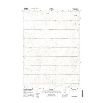
2015 Map of Flandreau SW
USGS Topo · Published 2015About this map
Egan sits in the southeast corner of this Moody County landscape, positioned along the Big Sioux River just before it meanders out of the quadrangle. The terrain is defined by the Coteau des Prairies, a high glacial plateau that creates a distinctive drainage pattern across the region. Several tributaries, including Squaw Cr and Spring Cr, cut through the section lines, reflecting the natural hydrography that guided early settlement. Genealogists and local historians will find the locations of North Clare Cem and Clare Cem valuable for tracing family roots in this rural township structure. The map detail highlights the rigid section-line road network, such as 227th St and 476th Ave, which delineates the agricultural heritage of this South Dakota prairie.
Find a feature on this map
32 named features on this map. Tap any name to fly to it.
Don’t see what you’re looking for? This feature index may not catch every label — zoom into the map to look around manually.
Map Details
Editions of this 2015 Flandreau SW Map
This is the sole edition of this map. No revisions or reprints were ever made.
Other maps of this area

1953 · Watertown
USGS Topo · 1:250,000

1955 · Sioux Falls
USGS Topo · 1:250,000

1958 · Sioux Falls
USGS Topo · 1:250,000

1958 · Watertown
USGS Topo · 1:250,000

1963 · Trent
USGS Topo · 1:24,000

1963 · Colman
USGS Topo · 1:24,000

1964 · Medary
USGS Topo · 1:24,000

1964 · Rutland SE
USGS Topo · 1:24,000

1964 · Flandreau SW
USGS Topo · 1:24,000

1964 · Flandreau NW
USGS Topo · 1:24,000