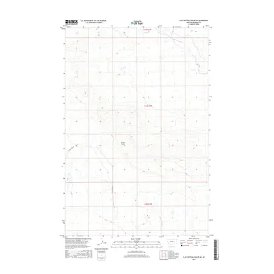
2017 Map of Flat Bottom Coulee NE
USGS Topo · Published 2017About this map
Badland Coulee defines the drainage pattern of this Rosebud County landscape, where the seasonal waters of the northern plains carve through the township sections. This 2017 survey illustrates the sparse, high-country ranching environment of eastern Montana, where human activity is primarily traced via the winding path of Stellar Creek Rd. Several named waterways, including Coyote Cr and Little Porcupine Cr in the north, along with Stellar Creek and Rattlesnake Cr in the south, indicate the catchment areas that sustain the region's livestock and local ecology. The map documents the persistent layout of the Public Land Survey System, showing the grid-based parceling of these expansive grazing lands.
Find a feature on this map
10 named features on this map. Tap any name to fly to it.
Don’t see what you’re looking for? This feature index may not catch every label — zoom into the map to look around manually.
Map Details
Editions of this 2017 Flat Bottom Coulee NE Map
This is the sole edition of this map. No revisions or reprints were ever made.
Other maps of this area

1954 · Forsyth
USGS Topo · 1:250,000

1957 · Forsyth
USGS Topo · 1:250,000

1958 · Forsyth
USGS Topo · 1:250,000

1965 · Needle Butte Reservoir
USGS Topo · 1:24,000

1965 · Vanstel
USGS Topo · 1:24,000

1965 · Stellar Lake
USGS Topo · 1:24,000

1969 · Rudie Coulee
USGS Topo · 1:24,000

1969 · Flat Bottom Coulee SW
USGS Topo · 1:24,000

1969 · Flat Bottom Coulee NE
USGS Topo · 1:24,000
1969 · Rough Creek SW
USGS Topo · 1:24,000