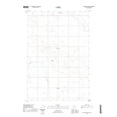
2020 Map of Flat Bottom Coulee NE
USGS Topo · Published 2020About this map
Badland Coulee dominates the central landscape of this Rosebud County region, illustrating the intricate drainage patterns of the Montana plains. The topography is defined by significant seasonal watercourses, including Coyote Cr and Little Porcupine Cr in the north, while Rattlesnake Cr winds through the southern reaches. This modern survey reflects a sparsely populated area where land use is primarily organized around the Public Land Survey System, as seen in the prominent township boundaries of t11n r39e. The only major named transportation route, Stellar Creek Rd, follows the path of Stellar Creek in the southwest, highlighting how physical geography continues to dictate infrastructure in this rural environment.
Find a feature on this map
10 named features on this map. Tap any name to fly to it.
Don’t see what you’re looking for? This feature index may not catch every label — zoom into the map to look around manually.
Map Details
Editions of this 2020 Flat Bottom Coulee NE Map
This is the sole edition of this map. No revisions or reprints were ever made.
Other maps of this area

1954 · Forsyth
USGS Topo · 1:250,000

1957 · Forsyth
USGS Topo · 1:250,000

1958 · Forsyth
USGS Topo · 1:250,000

1965 · Needle Butte Reservoir
USGS Topo · 1:24,000

1965 · Vanstel
USGS Topo · 1:24,000

1965 · Stellar Lake
USGS Topo · 1:24,000

1969 · Rudie Coulee
USGS Topo · 1:24,000

1969 · Flat Bottom Coulee SW
USGS Topo · 1:24,000

1969 · Flat Bottom Coulee NE
USGS Topo · 1:24,000
1969 · Rough Creek SW
USGS Topo · 1:24,000