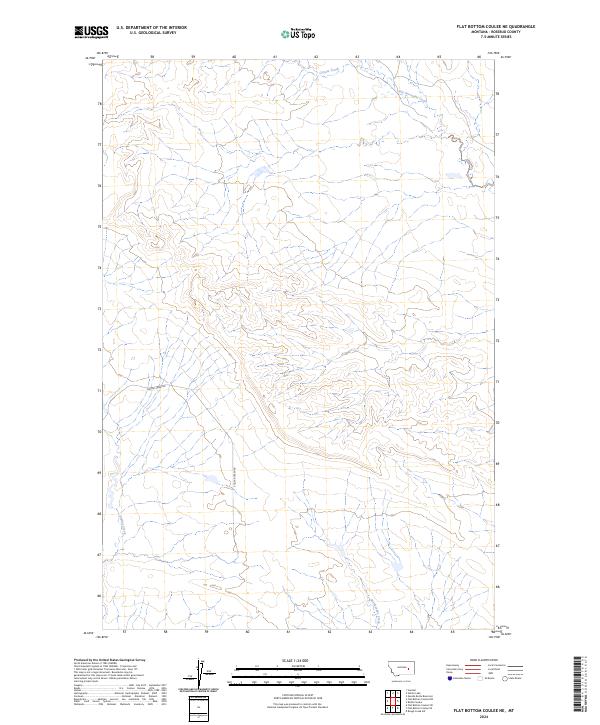
2024 Map of Flat Bottom Coulee NE
USGS Topo · Published 2024About this map
Little Porcupine Creek and Coyote Creek flow through this section of Rosebud County, defining a landscape marked by intermittent drainage patterns and significant elevation shifts. The area is dominated by the complex coulee systems of the northern plains, where the terrain transitions between high divides and deep creek beds. A primary point of access for researchers and local historians is Stellar Creek Rd, which follows the southern reaches of Stellar Creek before cutting across the township lines of t11n r39e and t10n r39e. The drainage of Rattlesnake Creek in the southeast corner further illustrates the natural erosion patterns that have shaped this portion of the Montana backcountry.
Find a feature on this map
8 named features on this map. Tap any name to fly to it.
Don’t see what you’re looking for? This feature index may not catch every label — zoom into the map to look around manually.
Map Details
Editions of this 2024 Flat Bottom Coulee NE Map
This is the sole edition of this map. No revisions or reprints were ever made.
Other maps of this area

1954 · Forsyth
USGS Topo · 1:250,000

1957 · Forsyth
USGS Topo · 1:250,000

1958 · Forsyth
USGS Topo · 1:250,000

1965 · Needle Butte Reservoir
USGS Topo · 1:24,000

1965 · Vanstel
USGS Topo · 1:24,000

1965 · Stellar Lake
USGS Topo · 1:24,000

1969 · Rudie Coulee
USGS Topo · 1:24,000

1969 · Flat Bottom Coulee SW
USGS Topo · 1:24,000

1969 · Flat Bottom Coulee NE
USGS Topo · 1:24,000
1969 · Rough Creek SW
USGS Topo · 1:24,000