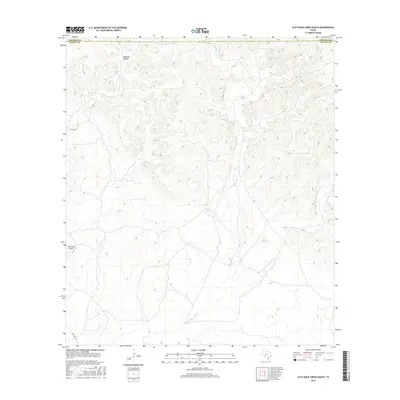
2016 Map of Flat Rock Creek South
USGS Topo · Published 2016About this map
Maurice Canyon and the surrounding drainage basins define this arid section of the Edwards Plateau along the county line in the mid-2010s. The landscape is dominated by the seasonal paths of Flat Rock Cr and the E Fork Sycamore Cr, which carve through the high ground as they move south toward the Rio Grande basin. Local infrastructure is minimal in this ranchland area, focused primarily on the RM 3008 N corridor and the Horn Ranch Airport, which serves as a private aviation point for the surrounding large landholdings. This 2016 survey provides a precise record of water sources and local topography, including Cow Cr, at a time when the region remained largely dedicated to traditional Texas livestock ranching and hunting operations.
Find a feature on this map
7 named features on this map. Tap any name to fly to it.
Don’t see what you’re looking for? This feature index may not catch every label — zoom into the map to look around manually.
Map Details
Editions of this 2016 Flat Rock Creek South Map
This is the sole edition of this map. No revisions or reprints were ever made.
Other maps of this area

1893 · Nueces
USGS Topo · 1:125,000

1896 · Nueces
USGS Topo · 1:125,000

1896 · Brackett
USGS Topo · 1:125,000

1897 · Brackett
USGS Topo · 1:125,000

1941 · Standart
USGS Topo · 1:62,500

1943 · Standart
USGS Topo · 1:62,500

1944 · Flat Rock
USGS Topo · 1:62,500

1944 · Brackettville
USGS Topo · 1:62,500

1944 · Indian Mountain
USGS Topo · 1:62,500

1958 · Del Rio
USGS Topo · 1:250,000