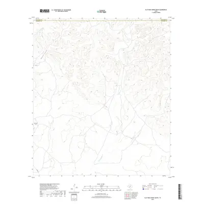
2019 Map of Flat Rock Creek South
USGS Topo · Published 2019About this map
The boundary line between Edwards Co and Kinney Co cuts across a landscape defined by deep drainage networks and high plateau terrain in this 2019 survey. The primary hydrological feature is Flat Rock Cr, which carves a path through the central portion of the quadrangle before eventually meeting the waters of E Fork Sycamore Cr in the southern reaches. These drainage patterns dictate the movement through the area, with the terrain rising sharply toward the north where Maurice Canyon forms a significant topographic break.
Find a feature on this map
6 named features on this map. Tap any name to fly to it.
Don’t see what you’re looking for? This feature index may not catch every label — zoom into the map to look around manually.
Map Details
Editions of this 2019 Flat Rock Creek South Map
This is the sole edition of this map. No revisions or reprints were ever made.
Other maps of this area

1893 · Nueces
USGS Topo · 1:125,000

1896 · Nueces
USGS Topo · 1:125,000

1896 · Brackett
USGS Topo · 1:125,000

1897 · Brackett
USGS Topo · 1:125,000

1941 · Standart
USGS Topo · 1:62,500

1943 · Standart
USGS Topo · 1:62,500

1944 · Flat Rock
USGS Topo · 1:62,500

1944 · Brackettville
USGS Topo · 1:62,500

1944 · Indian Mountain
USGS Topo · 1:62,500

1958 · Del Rio
USGS Topo · 1:250,000