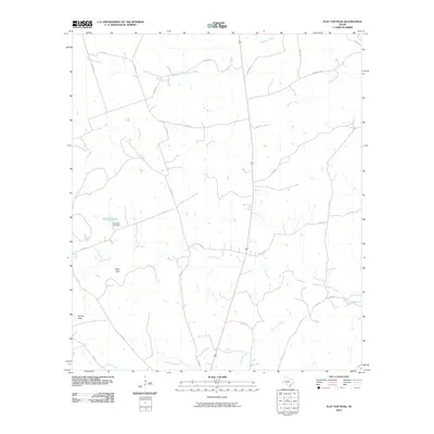
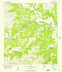
2010 Map of Flat Top Peak
USGS Topo · Published 2010About this map
Flat Top Peak and Boys Peak define the high points of this central Texas landscape, which is drained by a complex network of seasonal and perennial waterways. The area is characterized by its agricultural drainage patterns, with Patterson Creek flowing across the northern reaches and Little Lucy Creek tracing the southern boundary. Human modification of the landscape is evident at Simmons Lake, where the Simmons Lake Dam manages local water resources. A grid of rural county roads, including Co RD 97 and Co RD 43, provides access to the interior ranchlands. The presence of School Creek and Lucy Creek suggests a traditional rural settlement pattern where property lines and land use were historically tied to these vital water sources. This 2010 survey reflects the enduring rural character of the region, maintained by a system of farm-to-market infrastructure like Farm Rd 1690.
Find a feature on this map
26 named features on this map. Tap any name to fly to it.
Don’t see what you’re looking for? This feature index may not catch every label — zoom into the map to look around manually.
Map Details
Editions of this 2010 Flat Top Peak Map
This is the sole edition of this map. No revisions or reprints were ever made.
Other maps of this area

1887 · Lampasas
USGS Topo · 1:125,000

1894 · Lampasas
USGS Topo · 1:125,000

1954 · Brownwood
USGS Topo · 1:250,000

1954 · Evant
USGS Topo · 1:62,500

1954 · Lampasas
USGS Topo · 1:62,500

1954 · Lampasas
USGS Topo · 1:24,000
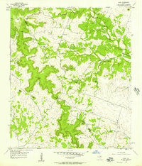
1954 · Izoro
USGS Topo · 1:24,000
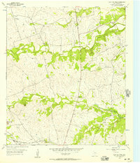
1954 · Flat Top Peak
USGS Topo · 1:24,000
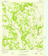
1954 · Rumley
USGS Topo · 1:24,000
1954 · Kempner
USGS Topo · 1:24,000