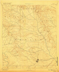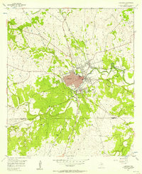
1954 Map of Lampasas
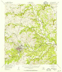
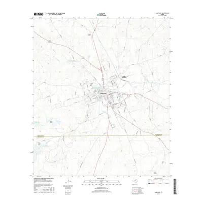
USGS Topo · Published 1957About this map
Sulphur Creek and its many tributaries, including Gooch Branch and Burleson Creek, converge at the city of Lampasas, a vital regional hub centered on the Gulf Colorado and Santa Fe (AT & SF) RR. The landscape is defined by its transition from the valley floor to prominent elevations like Oak Hill and the Pillar Bluff to the southwest. This mid-century survey highlights the integration of community infrastructure and natural resources, featuring the Swimming Pool Hancock Park near Gold Spring and the Filtration Plant supporting the growing town.
Find a feature on this map
42 named features on this map. Tap any name to fly to it.
Don’t see what you’re looking for? This feature index may not catch every label — zoom into the map to look around manually.
Map Details
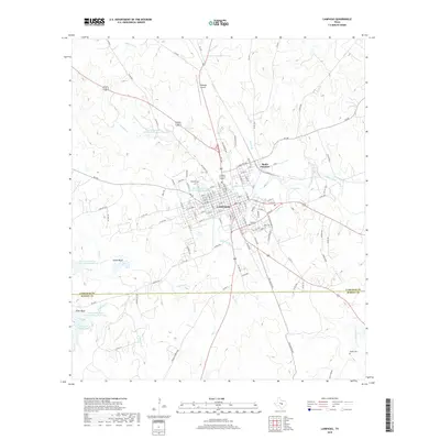
Editions of this 1954 Lampasas Map
This is the sole edition of this map. No revisions or reprints were ever made.
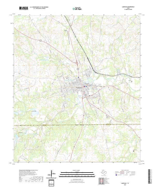
Historical Maps of Lampasas Through Time
9 maps found