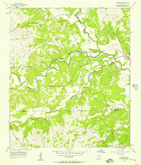
1954 Map of Kempner
USGS Topo · Published 1957About this map
The Lampasas River and Sulphur Creek converge near the small settlement of Kempner in this mid-1950s survey of the Central Texas landscape. The region's transport and industrial infrastructure is clearly marked, following the Gulf Colorado and Santa Fe railroad line as it cuts through the terrain at Deadmans Cut and Blue Cut. Local transit across the river was still defined by landmarks like Hallmark Crossing and Brooks Crossing, reflecting an era before modern highway bridges dominated every stream passage.
Find a feature on this map
22 named features on this map. Tap any name to fly to it.
Don’t see what you’re looking for? This feature index may not catch every label — zoom into the map to look around manually.
Map Details
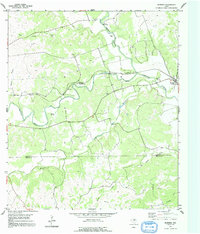
Editions of this 1954 Kempner Map
2 editions found
Other maps of this area

1887 · Lampasas
USGS Topo · 1:125,000

1887 · Burnet
USGS Topo · 1:125,000

1893 · Georgetown
USGS Topo · 1:125,000

1893 · Burnet
USGS Topo · 1:125,000

1894 · Lampasas
USGS Topo · 1:125,000

1894 · Gatesville
USGS Topo · 1:125,000

1903 · Burnet
USGS Topo · 1:125,000

1909 · Burnet
USGS Topo · 1:125,000

1947 · Fort Hood
USGS Topo · 1:62,500

1947 · Twin Moutains
USGS Topo · 1:24,000