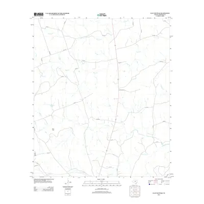
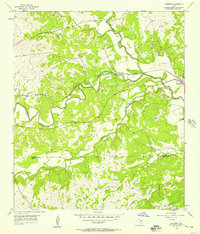
2012 Map of Flat Top Peak
USGS Topo · Published 2012About this map
Flat Top Peak and Boys Peak dominate the topography of this Lampasas County landscape, serving as primary landmarks in a region defined by its winding seasonal drainage systems. The map detail highlights an intricate network of creeks, including the upper reaches of Patterson Cr, School Cr, and Lucy Cr, which carve through the terrain. This 2012 survey illustrates the rural connectivity of the area, where established routes like FM-1690 intersect with numerous county roads such as Co RD-37 and Co RD-215.
Find a feature on this map
36 named features on this map. Tap any name to fly to it.
Don’t see what you’re looking for? This feature index may not catch every label — zoom into the map to look around manually.
Map Details
Editions of this 2012 Flat Top Peak Map
This is the sole edition of this map. No revisions or reprints were ever made.
Other maps of this area

1887 · Lampasas
USGS Topo · 1:125,000

1894 · Lampasas
USGS Topo · 1:125,000

1954 · Brownwood
USGS Topo · 1:250,000

1954 · Evant
USGS Topo · 1:62,500

1954 · Lampasas
USGS Topo · 1:62,500

1954 · Lampasas
USGS Topo · 1:24,000
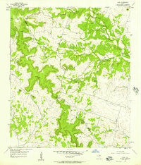
1954 · Izoro
USGS Topo · 1:24,000
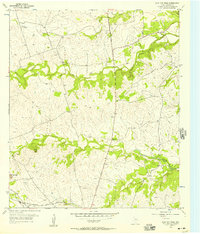
1954 · Flat Top Peak
USGS Topo · 1:24,000
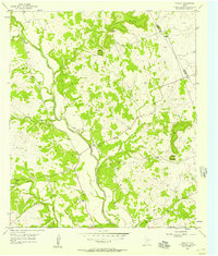
1954 · Rumley
USGS Topo · 1:24,000
1954 · Kempner
USGS Topo · 1:24,000