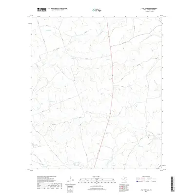
2019 Map of Flat Top Peak
USGS Topo · Published 2019About this map
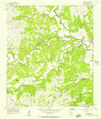
Flat Top Peak and Boys Peak define the high ground of this Lampasas County landscape, where the topography of the Edwards Plateau is etched by a dense network of seasonal drainages. The area is characterized by large rural tracts and ranch lands, served by an extensive system of county roads such as Co RD 44 and Co RD 39. Water sources are central to the geography here, with Simmons Lake providing a significant catchment point amidst the winding courses of Lucy Cr and School Cr. The map reveals a pattern of land use where private ranch roads and improved county routes navigate the varied elevations between Patterson Cr in the north and the lower reaches of Little Lucy Cr to the south. This 2019 survey documents the enduring rural character of the Texas Hill Country, showing how modern transportation like Farm RD 1690 integrates with traditional landscape markers.
Find a feature on this map
38 named features on this map. Tap any name to fly to it.
Don’t see what you’re looking for? This feature index may not catch every label — zoom into the map to look around manually.
Map Details
Editions of this 2019 Flat Top Peak Map
This is the sole edition of this map. No revisions or reprints were ever made.
Other maps of this area

1887 · Lampasas
USGS Topo · 1:125,000

1894 · Lampasas
USGS Topo · 1:125,000

1954 · Brownwood
USGS Topo · 1:250,000

1954 · Evant
USGS Topo · 1:62,500

1954 · Lampasas
USGS Topo · 1:62,500

1954 · Lampasas
USGS Topo · 1:24,000
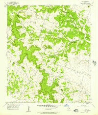
1954 · Izoro
USGS Topo · 1:24,000
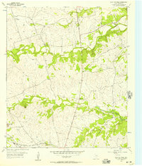
1954 · Flat Top Peak
USGS Topo · 1:24,000
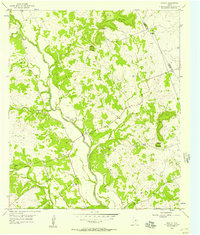
1954 · Rumley
USGS Topo · 1:24,000
1954 · Kempner
USGS Topo · 1:24,000