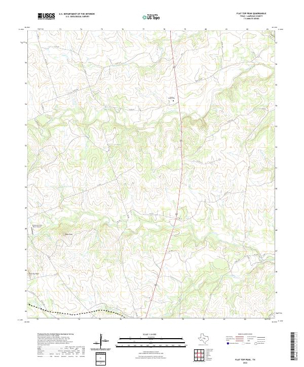
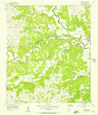
2022 Map of Flat Top Peak
USGS Topo · Published 2022About this map
The undulating terrain of Lampasas County defines this landscape, characterized by distinctive summits and a branching network of creek beds. Flat Top Peak and Boys Peak serve as primary topographical landmarks in a region largely dominated by cattle ranching and rural acreage. The human imprint is most visible through a dense grid of county roads, such as Co RD 38 and Co RD 48, which connect isolated homesteads and ranching operations. The presence of Stanley Chapel Cem provides a focal point for genealogical interest, marking a historical community site along the upper reaches of School Cr. Water distribution is centered on seasonal drainage paths like Patterson Cr and Little Lucy Cr, which feed into the larger regional watershed. The Comanche Hills Ranch Airport signifies the modern integration of aviation into large-scale Texas land management.
Find a feature on this map
40 named features on this map. Tap any name to fly to it.
Don’t see what you’re looking for? This feature index may not catch every label — zoom into the map to look around manually.
Map Details
Editions of this 2022 Flat Top Peak Map
This is the sole edition of this map. No revisions or reprints were ever made.
Other maps of this area

1887 · Lampasas
USGS Topo · 1:125,000

1894 · Lampasas
USGS Topo · 1:125,000

1954 · Brownwood
USGS Topo · 1:250,000

1954 · Evant
USGS Topo · 1:62,500

1954 · Lampasas
USGS Topo · 1:62,500

1954 · Lampasas
USGS Topo · 1:24,000
1954 · Izoro
USGS Topo · 1:24,000
1954 · Flat Top Peak
USGS Topo · 1:24,000
1954 · Rumley
USGS Topo · 1:24,000
1954 · Kempner
USGS Topo · 1:24,000