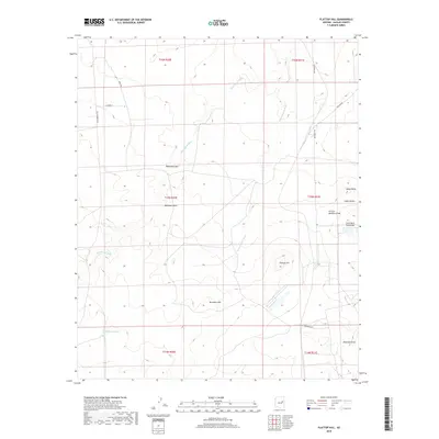
2018 Map of Flattop Hill
USGS Topo · Published 2018About this map
Washboard Wash and its tributary, E Washboard Wash, carve through this high desert portion of Navajo County, creating a complex network of drainage systems that define the local topography. The landscape is punctuated by prominent natural landmarks such as Flattop Hill, Monument Hill, and the distinct Sheza Butte, which likely served as essential orientation points for early travelers and ranchers. A handful of local thoroughfares, including Old Holbrook Rd and Reidhead Ave, provide modern access through these traditional grazing lands. The presence of specialized water infrastructure like Buckhorn Tank and names such as Arthurs Meadow Draw suggest a continued reliance on seasonal water management and provide clues for genealogists researching family-named land features in the region.
Find a feature on this map
23 named features on this map. Tap any name to fly to it.
Don’t see what you’re looking for? This feature index may not catch every label — zoom into the map to look around manually.
Map Details
Editions of this 2018 Flattop Hill Map
This is the sole edition of this map. No revisions or reprints were ever made.
Other maps of this area

1886 · Holbrook
USGS Topo · 1:250,000

1893 · Holbrook
USGS Topo · 1:250,000

1954 · Holbrook
USGS Topo · 1:250,000

1955 · St. Joseph 2 SE
USGS Topo · 1:24,000

1955 · St. Joseph 1 SE
USGS Topo · 1:24,000

1955 · Joseph City
USGS Topo · 1:62,500
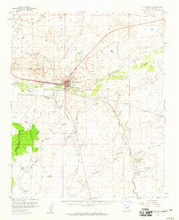
1955 · Holbrook
USGS Topo · 1:62,500

1957 · Holbrook
USGS Topo · 1:250,000

1958 · Holbrook
USGS Topo · 1:250,000

1960 · Holbrook
USGS Topo · 1:250,000