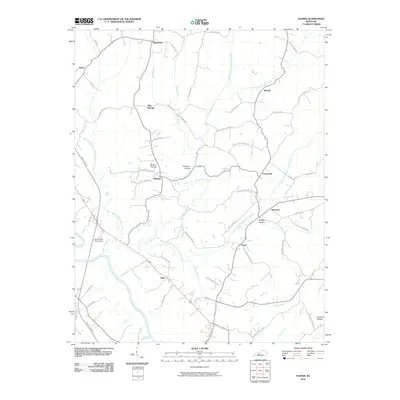
2010 Map of Flener
USGS Topo · Published 2010About this map
Baizetown and Flener anchor this rural landscape where the Green River carves the southwestern boundary. The region is defined by a dense network of creeks and branches, including the North Prong Indian Camp Creek and Sixes Creek, which drain into the main stem of Indian Camp Creek. Small, dispersed settlements like Flint Springs, Dexterville, and Eden are connected by a web of winding routes such as Oak Grove Rd and Baizetown Rd.
Find a feature on this map
62 named features on this map. Tap any name to fly to it.
Don’t see what you’re looking for? This feature index may not catch every label — zoom into the map to look around manually.
Map Details
Editions of this 2010 Flener Map
This is the sole edition of this map. No revisions or reprints were ever made.
Other maps of this area

1909 · Hartford
USGS Topo · 1:62,500

1911 · Dunmor
USGS Topo · 1:48,000

1914 · Little Muddy
USGS Topo · 1:62,500

1914 · Dunmor
USGS Topo · 1:62,500

1925 · Spring Lick
USGS Topo · 1:62,500

1953 · South Hill
USGS Topo · 1:24,000

1954 · Evansville
USGS Topo · 1:250,000

1954 · Horton
USGS Topo · 1:24,000

1954 · Spring Lick
USGS Topo · 1:24,000

1954 · Welchs Creek
USGS Topo · 1:24,000