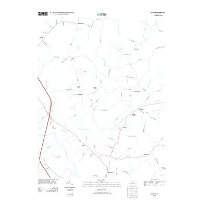
2013 Map of Flener
USGS Topo · Published 2013About this map
The Green River carves a winding path through this corner of Kentucky, defining a landscape where rural settlements like Baizetown and Flener are connected by a network of ridge-running roads. The map captures a moment in the early 21st century where legacy family names persist in the local geography, seen in routes such as Daugherty Cemetery Ln and High Grove School Rd. These labels hint at the community centers—cemeteries and schoolhouses—that historically anchored these small unincorporated hamlets.
Find a feature on this map
83 named features on this map. Tap any name to fly to it.
Don’t see what you’re looking for? This feature index may not catch every label — zoom into the map to look around manually.
Map Details
Editions of this 2013 Flener Map
This is the sole edition of this map. No revisions or reprints were ever made.
Other maps of this area

1909 · Hartford
USGS Topo · 1:62,500

1911 · Dunmor
USGS Topo · 1:48,000

1914 · Little Muddy
USGS Topo · 1:62,500

1914 · Dunmor
USGS Topo · 1:62,500

1925 · Spring Lick
USGS Topo · 1:62,500

1953 · South Hill
USGS Topo · 1:24,000

1954 · Evansville
USGS Topo · 1:250,000

1954 · Horton
USGS Topo · 1:24,000

1954 · Spring Lick
USGS Topo · 1:24,000

1954 · Welchs Creek
USGS Topo · 1:24,000