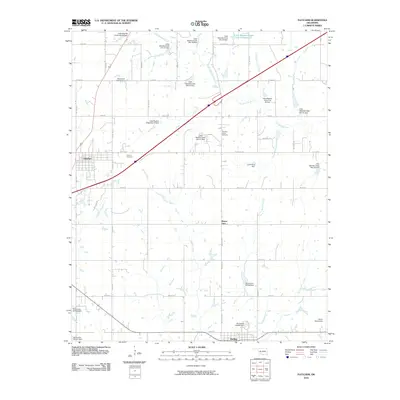
2010 Map of Fletcher
USGS Topo · Published 2010About this map
The town of Fletcher anchors the western edge of this Comanche County landscape, situated where the grid of rural roads meets the diagonal path of the interstate. This 2010 survey illustrates a region heavily managed by watershed infrastructure, dominated by a dense network of flood control structures and dams along the Little Washita River and its tributaries. To the south, the community of Sterling sits along a bend in the road, while the small settlement of Mount View remains marked further north.
Find a feature on this map
55 named features on this map. Tap any name to fly to it.
Don’t see what you’re looking for? This feature index may not catch every label — zoom into the map to look around manually.
Map Details
Editions of this 2010 Fletcher Map
This is the sole edition of this map. No revisions or reprints were ever made.
Other maps of this area

1946 · Lawton
USGS Topo · 1:62,500

1949 · Arbuckle Hill
USGS Topo · 1:24,000

1949 · Cement
USGS Topo · 1:62,500

1949 · Elgin
USGS Topo · 1:24,000

1949 · Nellie
USGS Topo · 1:62,500

1955 · Lawton
USGS Topo · 1:250,000

1956 · Sterling
USGS Topo · 1:24,000

1956 · Laverty
USGS Topo · 1:24,000

1956 · Fletcher
USGS Topo · 1:24,000

1956 · Arbuckle Hill
USGS Topo · 1:24,000