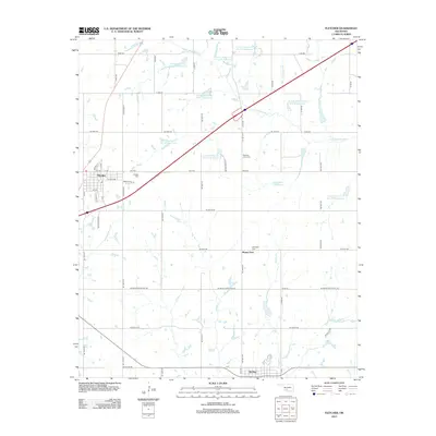
2012 Map of Fletcher
USGS Topo · Published 2012About this map
Fletcher and Sterling anchor this portion of Comanche County, Oklahoma, in a landscape defined by an extensive watershed management system. The Little Washita River and its tributaries, including Whisky Creek and Ninemile Beaver Creek, are punctuated by a series of numbered flood control structures such as Little Washita Creek Site 21 Reservoir and Little Washita Creek Site 29 Reservoir. These reservoirs reflect the mid-century regional efforts to manage soil erosion and water flow in the Washita River Basin.
Find a feature on this map
43 named features on this map. Tap any name to fly to it.
Don’t see what you’re looking for? This feature index may not catch every label — zoom into the map to look around manually.
Map Details
Editions of this 2012 Fletcher Map
This is the sole edition of this map. No revisions or reprints were ever made.
Other maps of this area

1946 · Lawton
USGS Topo · 1:62,500

1949 · Arbuckle Hill
USGS Topo · 1:24,000

1949 · Cement
USGS Topo · 1:62,500

1949 · Elgin
USGS Topo · 1:24,000

1949 · Nellie
USGS Topo · 1:62,500

1955 · Lawton
USGS Topo · 1:250,000

1956 · Sterling
USGS Topo · 1:24,000

1956 · Laverty
USGS Topo · 1:24,000

1956 · Fletcher
USGS Topo · 1:24,000

1956 · Arbuckle Hill
USGS Topo · 1:24,000