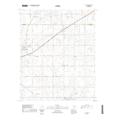
2018 Map of Fletcher
USGS Topo · Published 2018About this map
Fletcher stands as the primary hub in this Oklahoma landscape, situated just north of the county line separating Caddo and Comanche counties. The town's layout includes a tight grid of streets such as Shields and Tennepee, with the Fletcher Cem positioned to the northeast. To the south, the community of Sterling is established along North St and Hancock St, marking another significant pocket of settlement in this agricultural and hydraulic environment.
Find a feature on this map
56 named features on this map. Tap any name to fly to it.
Don’t see what you’re looking for? This feature index may not catch every label — zoom into the map to look around manually.
Map Details
Editions of this 2018 Fletcher Map
This is the sole edition of this map. No revisions or reprints were ever made.
Other maps of this area

1946 · Lawton
USGS Topo · 1:62,500

1949 · Arbuckle Hill
USGS Topo · 1:24,000

1949 · Cement
USGS Topo · 1:62,500

1949 · Elgin
USGS Topo · 1:24,000

1949 · Nellie
USGS Topo · 1:62,500

1955 · Lawton
USGS Topo · 1:250,000

1956 · Sterling
USGS Topo · 1:24,000

1956 · Laverty
USGS Topo · 1:24,000

1956 · Fletcher
USGS Topo · 1:24,000

1956 · Arbuckle Hill
USGS Topo · 1:24,000