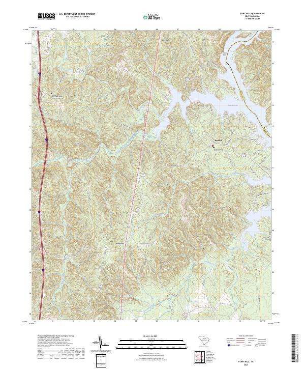
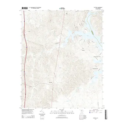
2024 Map of Flint Hill
USGS Topo · Published 2024About this map
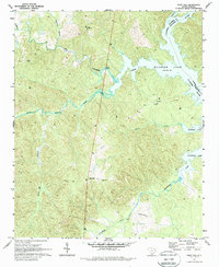
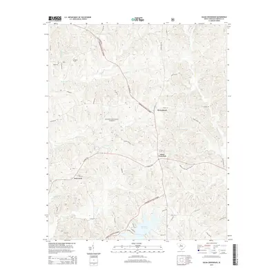
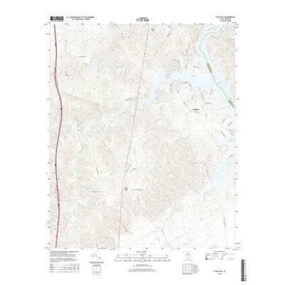
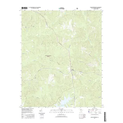
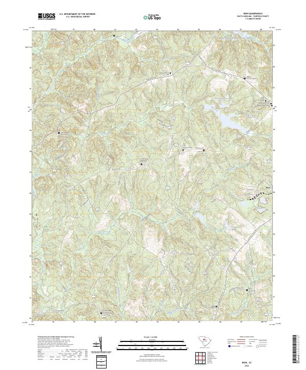
Greater Mount Zion Church and Rock Hill Church anchor this Fairfield County landscape, where the rolling piedmont terrain meets the western shores of Wateree Lake. The area is defined by the dendritic drainage patterns of Big Wateree Creek and Little Wateree Creek, which feed into the larger reservoir. Settlement patterns follow the high ground along routes like Flint Hill Rd and Camp Welfare Rd, leading toward the small communities of Flint Hill and Bucklick. Historically significant crossings such as Dukes Ford and old thoroughfares like Ladd S Ferry Rd indicate a long reliance on river and lake navigation. The map captures a mix of rural homesteads and newer lakeside developments, particularly around Wateree Estate Rd and the various courts and drives branching toward the water. To the south, Dutchmans Creek and Horse Branch carve through the wooded hills, illustrating the persistent agricultural and timber-driven character of the region.
Find a feature on this map
54 named features on this map. Tap any name to fly to it.
Don’t see what you’re looking for? This feature index may not catch every label — zoom into the map to look around manually.
Map Details
Editions of this 2024 Flint Hill Map
This is the sole edition of this map. No revisions or reprints were ever made.
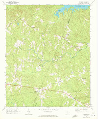
Historical Maps of Flint Hill Through Time
30 maps found
1969 Lebanon
Fairfield County, SC
1969 Rion
Fairfield County, SC
1969 Salem Crossroads
Fairfield County, SC
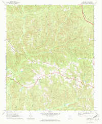
1971 Flint Hill
Fairfield County, SC
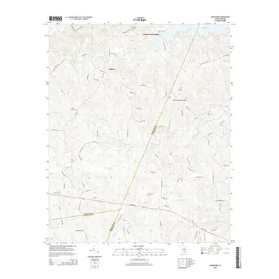
1971 Longtown
Fairfield County, SC
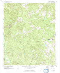
2011 Flint Hill
Fairfield County, SC
2011 Lebanon
Fairfield County, SC
2011 Longtown
Fairfield County, SC
2011 Rion
Fairfield County, SC
2011 Salem Crossroads
Fairfield County, SC
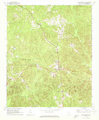
2014 Flint Hill
Fairfield County, SC
2014 Lebanon
Fairfield County, SC
2014 Longtown
Fairfield County, SC
2014 Rion
Fairfield County, SC
2014 Salem Crossroads
Fairfield County, SC
2017 Flint Hill
Fairfield County, SC
2017 Lebanon
Fairfield County, SC
2017 Longtown
Fairfield County, SC
2017 Rion
Fairfield County, SC
2017 Salem Crossroads
Fairfield County, SC
2020 Flint Hill
Fairfield County, SC
2020 Lebanon
Fairfield County, SC
2020 Longtown
Fairfield County, SC
2020 Rion
Fairfield County, SC
2020 Salem Crossroads
Fairfield County, SC
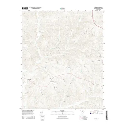
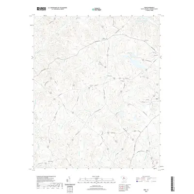
2024 Flint Hill
Fairfield County, SC
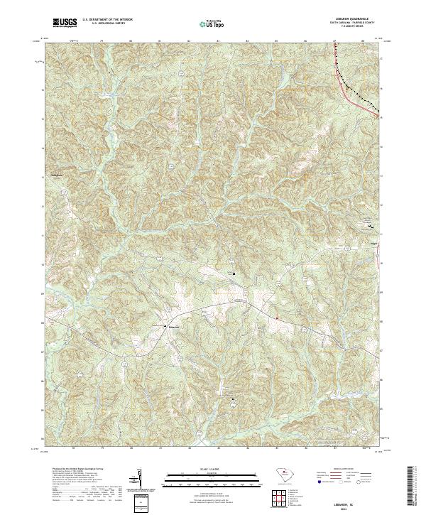
2024 Lebanon
Fairfield County, SC
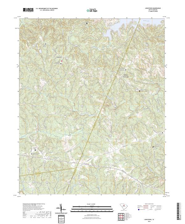
2024 Longtown
Fairfield County, SC
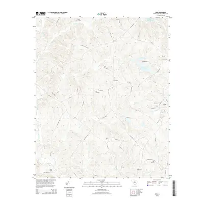
2024 Rion
Fairfield County, SC
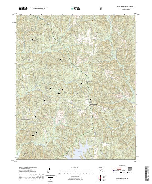
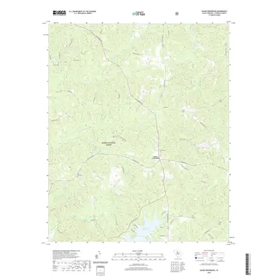
2024 Salem Crossroads
Fairfield County, SC