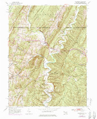
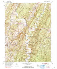
1950 Map of Flintstone
USGS Topo · Published 1984About this map
Flintstone and the surrounding Ridge-and-Valley terrain are captured here in a transition between mid-century agriculture and modern infrastructure. The village sits at a critical gap between Warrior Mountain and Tussey Mountain, serving as a waypoint along the National Pike. To the north, the historic Mason and Dixon Line separates Allegany County from Pennsylvania, cutting across high ridges like Iron Ridge and Polish Mountain.
Find a feature on this map
63 named features on this map. Tap any name to fly to it.
Don’t see what you’re looking for? This feature index may not catch every label — zoom into the map to look around manually.
Map Details
Editions of this 1950 Flintstone Map
5 editions found
Other maps of this area

1898 · Paw Paw
USGS Topo · 1:62,500

1899 · Flintstone
USGS Topo · 1:62,500

1900 · Pawpaw
USGS Topo · 1:62,500

1900 · Flintstone
USGS Topo · 1:62,500

1910 · Paw Paw
USGS Topo · 1:62,500

1927 · Clearville
USGS Topo · 1:48,000

1927 · Hyndman
USGS Topo · 1:62,500

1931 · Clearville
USGS Topo · 1:62,500

1931 · Hyndman
USGS Topo · 1:62,500

1944 · Hyndman
USGS Topo · 1:62,500