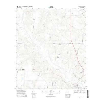
2014 Map of Flomaton
USGS Topo · Published 2014About this map
Flomaton and Wawbeek anchor this section of Escambia County, where the landscape is defined by the winding course of Big Escambia Cr and its numerous tributaries. The area is dense with family and community history, evidenced by a high concentration of cemeteries such as Moyeville Church Cem and Hammac Cem that follow the upland ridges. In the south, the Flomaton Airport and the waters of Lake Weaver indicate more modern developments and recreational features near the Florida border. The intricate network of local roads like Philyaw Rd and Godwin Rd provides a clear view of how rural homesteads are connected to these watercourses, including Hall Cr and Cowpen Cr.
Find a feature on this map
84 named features on this map. Tap any name to fly to it.
Don’t see what you’re looking for? This feature index may not catch every label — zoom into the map to look around manually.
Map Details
Editions of this 2014 Flomaton Map
This is the sole edition of this map. No revisions or reprints were ever made.
Other maps of this area

1941 · Century
USGS Topo · 1:62,500

1943 · Century
USGS Topo · 1:62,500

1943 · Jay
USGS Topo · 1:62,500

1953 · Andalusia
USGS Topo · 1:250,000

1957 · Andalusia
USGS Topo · 1:250,000

1957 · Pensacola
USGS Topo · 1:250,000

1959 · Pensacola
USGS Topo · 1:250,000

1960 · Pensacola
USGS Topo · 1:250,000

1960 · Atmore
USGS Topo · 1:24,000

1960 · Huxford
USGS Topo · 1:24,000