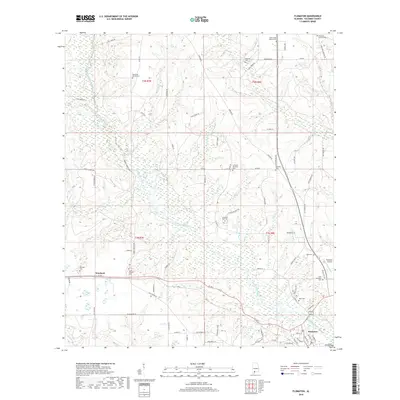
2018 Map of Flomaton
USGS Topo · Published 2018About this map
Big Escambia Creek winds through this section of Escambia County, shaping a landscape defined by its tributary system and scattered rural settlements. The town of Flomaton serves as a local hub near the southern edge, while the smaller community of Wawbeek sits to the west along Co Rd 3. The area is notably dense with small family and church burial grounds, reflecting a long-standing pattern of multi-generational land ownership and local worship.
Find a feature on this map
91 named features on this map. Tap any name to fly to it.
Don’t see what you’re looking for? This feature index may not catch every label — zoom into the map to look around manually.
Map Details
Editions of this 2018 Flomaton Map
This is the sole edition of this map. No revisions or reprints were ever made.
Other maps of this area

1941 · Century
USGS Topo · 1:62,500

1943 · Century
USGS Topo · 1:62,500

1943 · Jay
USGS Topo · 1:62,500

1953 · Andalusia
USGS Topo · 1:250,000

1957 · Andalusia
USGS Topo · 1:250,000

1957 · Pensacola
USGS Topo · 1:250,000

1959 · Pensacola
USGS Topo · 1:250,000

1960 · Pensacola
USGS Topo · 1:250,000

1960 · Atmore
USGS Topo · 1:24,000

1960 · Huxford
USGS Topo · 1:24,000