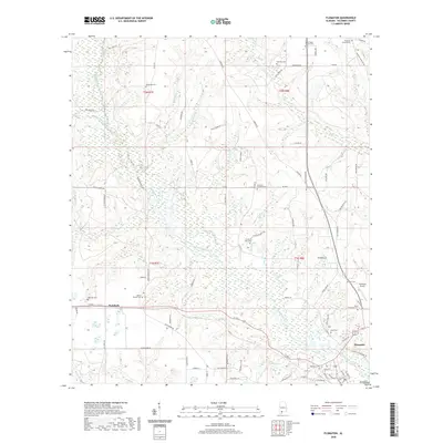
2020 Map of Flomaton
USGS Topo · Published 2020About this map
Big Escambia Creek winds through this Escambia County landscape, carving a wide floodplain that defines the topography south toward the Florida border. The town of Flomaton serves as a local hub, situated near the confluence of several waterways and marked by a concentrated network of streets like Railroad St, which hints at the area's transportation heritage. The surrounding countryside is dotted with numerous small family and church burial grounds, including the Moyeville Cem, Hammac Cem, and Travelers Rest Cem, providing a detailed record for genealogical research. To the west, the settlement of Wawbeek sits along a quiet stretch of road, while the Flomaton Airport and various creek branches like Pond Cr and Sardine Br reveal a mix of modern infrastructure and the original drainage patterns that shaped early settlement.
Find a feature on this map
92 named features on this map. Tap any name to fly to it.
Don’t see what you’re looking for? This feature index may not catch every label — zoom into the map to look around manually.
Map Details
Editions of this 2020 Flomaton Map
This is the sole edition of this map. No revisions or reprints were ever made.
Other maps of this area

1941 · Century
USGS Topo · 1:62,500

1943 · Century
USGS Topo · 1:62,500

1943 · Jay
USGS Topo · 1:62,500

1953 · Andalusia
USGS Topo · 1:250,000

1957 · Andalusia
USGS Topo · 1:250,000

1957 · Pensacola
USGS Topo · 1:250,000

1959 · Pensacola
USGS Topo · 1:250,000

1960 · Pensacola
USGS Topo · 1:250,000

1960 · Atmore
USGS Topo · 1:24,000

1960 · Huxford
USGS Topo · 1:24,000