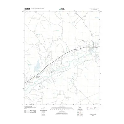
2010 Map of Flora Vista
USGS Topo · Published 2010About this map
The Animas River corridor between Farmington and Aztec defines this high-desert landscape in northwestern New Mexico. At the heart of the sheet, the settlement of Flora Vista serves as a hub for the surrounding agricultural and industrial activity, anchored by the Flora Vista Cemetery. The region's reliance on water management is evident through an intricate network of irrigation features like the Elledge Mill Ditch, Kello Blancett DITCH, and Terrell Ditch, which redirect flow from the river to the arid terrain near Bald Mesa. Industrial and municipal development is represented by the Aztec Municipal Airport and mining sites such as the Aztec Gypsum Prospect and Spencerville Pit. Significant water storage at Lake Farmington and Beeline Reservoir highlights the critical infrastructure supporting the growing communities of Spencerville and the outskirts of Farmington.
Find a feature on this map
76 named features on this map. Tap any name to fly to it.
Don’t see what you’re looking for? This feature index may not catch every label — zoom into the map to look around manually.
Map Details
Editions of this 2010 Flora Vista Map
This is the sole edition of this map. No revisions or reprints were ever made.
Other maps of this area

1889 · Largo
USGS Topo · 1:250,000

1889 · Chaco
USGS Topo · 1:250,000

1892 · Chaco
USGS Topo · 1:250,000

1895 · Largo
USGS Topo · 1:250,000

1954 · Shiprock
USGS Topo · 1:250,000

1954 · Aztec
USGS Topo · 1:250,000

1958 · Shiprock
USGS Topo · 1:250,000

1958 · Aztec
USGS Topo · 1:250,000

1959 · Shiprock
USGS Topo · 1:250,000

1959 · Aztec
USGS Topo · 1:62,500