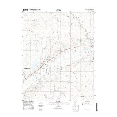
2013 Map of Flora Vista
USGS Topo · Published 2013About this map
The Animas River corridor between Farmington and Aztec defines this modern landscape in San Juan County. Agricultural roots persist through a complex network of historic irrigation systems, including the Elledge Mill Ditch, Farmers Ditch, and Kello Blancett Ditch. These waterways contrast with the arid surrounding terrain of Bald Mesa and numerous arroyos such as Flora Vista Arroyo and Blancett Arroyo.
Find a feature on this map
134 named features on this map. Tap any name to fly to it.
Don’t see what you’re looking for? This feature index may not catch every label — zoom into the map to look around manually.
Map Details
Editions of this 2013 Flora Vista Map
This is the sole edition of this map. No revisions or reprints were ever made.
Other maps of this area

1889 · Largo
USGS Topo · 1:250,000

1889 · Chaco
USGS Topo · 1:250,000

1892 · Chaco
USGS Topo · 1:250,000

1895 · Largo
USGS Topo · 1:250,000

1954 · Shiprock
USGS Topo · 1:250,000

1954 · Aztec
USGS Topo · 1:250,000

1958 · Shiprock
USGS Topo · 1:250,000

1958 · Aztec
USGS Topo · 1:250,000

1959 · Shiprock
USGS Topo · 1:250,000

1959 · Aztec
USGS Topo · 1:62,500