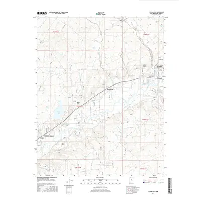
2017 Map of Flora Vista
USGS Topo · Published 2017About this map
The Animas River corridor defines this landscape north of Farmington, where a complex network of historic irrigation systems like Farmers Ditch, Kello Blancett Ditch, and Elledge Mill Ditch supported the agricultural growth of the valley. This 2017 survey details the area between the ancient structures of the Aztec Ruins National Monument and the modern residential expansion of Flora Vista. The map records several localized water management features including North Light Plant, Beeline Reservoir, and Lake Farmington, while the surrounding terrain is marked by numerous seasonal drainages such as Flora Vista Arroyo and Blancett Arroyo. Genealogical points of interest include the Flora Vista Cem and Memory Gardens, alongside the distinct settlements of Aztec and Spencerville.
Find a feature on this map
52 named features on this map. Tap any name to fly to it.
Don’t see what you’re looking for? This feature index may not catch every label — zoom into the map to look around manually.
Map Details
Editions of this 2017 Flora Vista Map
This is the sole edition of this map. No revisions or reprints were ever made.
Other maps of this area

1889 · Largo
USGS Topo · 1:250,000

1889 · Chaco
USGS Topo · 1:250,000

1892 · Chaco
USGS Topo · 1:250,000

1895 · Largo
USGS Topo · 1:250,000

1954 · Shiprock
USGS Topo · 1:250,000

1954 · Aztec
USGS Topo · 1:250,000

1958 · Shiprock
USGS Topo · 1:250,000

1958 · Aztec
USGS Topo · 1:250,000

1959 · Shiprock
USGS Topo · 1:250,000

1959 · Aztec
USGS Topo · 1:62,500