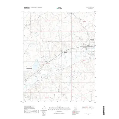
2020 Map of Flora Vista
USGS Topo · Published 2020About this map
The Animas River corridor defines the geography of this San Juan County region, serving as the lifeblood for settlements like Flora Vista and Spencerville. Irrigation infrastructure, including the Farmers Ditch, illustrates how water management has historically supported development in this high-desert landscape. The transition from river valley to the elevated Bald Mesa is marked by numerous drainage features such as Barton Arroyo and Flora Vista Arroyo, which reveal the complex local topography.
Find a feature on this map
47 named features on this map. Tap any name to fly to it.
Don’t see what you’re looking for? This feature index may not catch every label — zoom into the map to look around manually.
Map Details
Editions of this 2020 Flora Vista Map
This is the sole edition of this map. No revisions or reprints were ever made.
Other maps of this area

1889 · Largo
USGS Topo · 1:250,000

1889 · Chaco
USGS Topo · 1:250,000

1892 · Chaco
USGS Topo · 1:250,000

1895 · Largo
USGS Topo · 1:250,000

1954 · Shiprock
USGS Topo · 1:250,000

1954 · Aztec
USGS Topo · 1:250,000

1958 · Shiprock
USGS Topo · 1:250,000

1958 · Aztec
USGS Topo · 1:250,000

1959 · Shiprock
USGS Topo · 1:250,000

1959 · Aztec
USGS Topo · 1:62,500